

Bertie County sits in the fork between the Chowan and Roanoke rivers, on the west bank of the Chowan and the north bank of the Cashie -- a stretch of blackwater and farmland that carried the first documented English presence anywhere in what became North Carolina, more than sixty years before the county itself existed.
1655 Batts on Salmon Creek
In 1655, a fur trader named Nathaniell Batts had a twenty-foot-square house with two rooms and a chimney built for him on Salmon Creek, at the western end of what colonists then called Roanoke Sound -- inside the present bounds of Bertie County1. Batts was working for a Virginia merchant, Francis Yeardley, who had sent him south to explore the Albemarle region and trade with the Indians living along it. The house shows up on a 1657 English map, Nicholas Comberford's "The South Part of Virginia," labeled simply "Batts House" -- the earliest cartographic record of an English structure anywhere in what would become North Carolina.
Historians generally credit Batts as the first permanent English settler in the colony that became North Carolina2. He told the Quaker founder George Fox, who visited him at his Chowan-area plantation in 1672, that he had once held some kind of governing authority in the region -- possibly over the handful of settlers who lived with him at Salmon Creek until, by around 1667, the Tuscarora drove them off. Batts also holds the record for the oldest surviving North Carolina land deed, a September 1660 purchase from Kiscutanewh, king of the Yeopim, for land on the Pasquotank -- separate from his Bertie holdings, but the same man, the same decade, and evidence of how early and how methodically this stretch of the Albemarle was being claimed on paper.
1711–1717 The Tuscarora War & Indian Woods
Before dawn on September 22, 1711, more than 500 Tuscarora and allied warriors attacked colonial settlements along the Neuse and Pamlico rivers, killing at least 140 settlers in a single coordinated strike -- the opening of what became North Carolina's bloodiest colonial war3. The Tuscarora themselves were not unified in the fighting: Chief Tom Blunt led a northern faction that stayed out of the war and, in places, actively assisted the colony against the Tuscarora bands that fought it.
The Tuscarora were not unified in their own war -- Chief Tom Blunt's faction stayed out of it, and was rewarded with land for doing so.
That distinction shaped what came next in Bertie specifically. In 1717, the colonial government set aside a reservation for Blunt's Tuscarora on the north side of the Roanoke River, in what is now southwestern Bertie County -- a tract cited at roughly 53,000 to 60,000 acres depending on the source, known ever since as Indian Woods4. It was one of the larger Native land grants to survive colonial-era North Carolina by that point, and it lasted more than a century: the Tuscarora who remained there did not give up their title until 1828, after which most of the roughly 645 remaining families relocated south into what is now Robeson County and, later, north to the Tuscarora Nation's reservation in Niagara County, New York5. A state highway historical marker on US 17/13 south of Windsor still names the site today. The fullest modern academic account of the war itself is David La Vere's The Tuscarora War: Indians, Settlers, and the Fight for the Carolina Colonies (University of North Carolina Press, 2013), which traces the conflict through the lives of seven of its central participants.
1722–1739 Bertie Precinct to County
Bertie was organized in 1722 as Bertie Precinct, carved from the part of Chowan Precinct lying west of the Chowan River6. The name honors James Bertie, Henry Bertie, or both -- brothers who were among the Lords Proprietors of Carolina, the same small group of English aristocrats who held the colonial charter for the whole province. Bertie kept giving up land to newer precincts for decades after its own founding: pieces of it went into Tyrrell Precinct in 1729, into Edgecombe and Northampton counties in 1741, and into Hertford County in 1759, after which its boundaries stopped moving. Bertie itself formally became a county, rather than a precinct, in 1739, when the colony abolished Albemarle County and every precinct beneath it converted to full county status on its own.
1768 Windsor at Gray's Landing
The county seat's own founding date is one of the places where the record genuinely disagrees, and this page states that plainly rather than picking a year silently. The Windsor Historic District's National Register nomination describes the district as encompassing the town "as it was first laid out in 1768"7 -- a primary planning-document date. Other secondary sources give 1766 or 1767 for the same event. What isn't disputed is the site: Windsor was laid out on Gray's Landing, a working landing on the Cashie River, and it did not become Bertie's county seat immediately -- most sources put that a few years later, in 1774 or 1775. The town's name honors Windsor Castle, the English royal residence.
Windsor grew slowly around that river landing for more than a century before its surviving built environment took the shape buyers see today. The Bertie County Courthouse on King and Dundee streets was built in 1889 in the Classical Revival style, added onto in 1941 and again in 1974, and listed on the National Register of Historic Places in 19798. The wider Windsor Historic District -- roughly 68 acres bounded by York, Water, Sutton, and Elmo streets, encompassing 78 contributing buildings -- was listed on the National Register in 1991, and most of its individual buildings date from after the turn of the twentieth century rather than from the colonial founding itself7. Two of Windsor's Revolutionary-era residents reached the national stage: William Blount, a Continental Congress member and signer of the U.S. Constitution, and David Stone, who served as North Carolina's governor from 1808 to 1810 and also sat in the U.S. Senate and House -- both are named on their own state highway historical markers in town.
1743–1919 Colerain to Kelford
Windsor was never the whole story. Colerain, in the county's northeast corner on the Chowan River, is Bertie's other genuinely old town, founded by an Irish immigrant named John Campbell who named it for his hometown of Coleraine, County Londonderry -- though even this founding has a real discrepancy in the record, with sources giving both 1743 and 1794 as Campbell's founding year9. The town lost the "e" from its name only when its post office was established in 1818, per the Bertie County Historical Association.
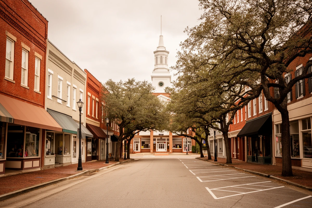
Every other Bertie town has its own crossroads-to-incorporation story, and none of them started out with the name it carries now. Aulander began as Harmon's Crossroads before incorporating in 1873 under a name meant to keep the pronunciation of "Orlando." Roxobel changed names four separate times -- Cotten's Cross Roads (1724), Granbury (1756), Britton's Store (1815), and finally Roxobel in 1849. Lewiston started as Turner's Cross Roads in 1816, was renamed for a postmaster named Watson Lewis in 1872, and merged with the neighboring town of Woodville in 1981 to form today's Lewiston-Woodville. Powellsville was Powell's Crossroads before its 1919 incorporation, and Kelford was laid out as late as 1890 by S.A. Norfleet, reportedly named for a fjord in Scotland10. Read together, these aren't seven unrelated place-names -- they're a record of how a rural county's crossroads settlements accreted around a store, a post office, or a rail stop, one at a time, over nearly two centuries.
1864 The Albemarle in Batchelor Bay
Bertie's Civil War history is tied to one specific vessel. The CSS Albemarle, a Confederate ironclad ram built up the Roanoke River at Halifax County, steamed down through Bertie waters and crossed Batchelor Bay on May 5, 1864, engaging seven Union warships under Captain Melancton Smith in an action now called the Battle of Albemarle Sound11. The Union steamer Sassacus rammed the ironclad directly and got stuck against her; the Albemarle answered with a hundred-pound shot through the Sassacus's starboard boiler that scalded and wounded her crew. Neither side could finish the fight before nightfall, and the Albemarle withdrew back up the Roanoke to Plymouth, low on steam. A state historical marker on NC 45 at Batchelor Bay Drive, cast in 1962, still marks the spot.
Windsor itself saw a smaller, earlier action: a January 30, 1864 skirmish in which Union gunboats on the Cashie engaged a Georgia cavalry regiment in the town. Neither engagement was decisive on its own, but together they place Bertie's rivers -- the same Cashie and Roanoke that shape recreational boating and waterfront value here today -- squarely inside the last major naval theater of the Confederacy's Atlantic coast.
1889–1900s Peanuts & the Working Land
Peanuts entered the historical record in this corner of North Carolina early -- the first documented reference dates to 1769, when Sir William Watson reported on peanut cultivation near Edenton to London's Royal Society -- but the crop did not become a serious commercial force until after the Civil War12. The earliest official production figures, from 1889, show Bertie County growing 20,822 bushels that year. Bertie went on to become the leading peanut-producing county in North Carolina, and the crop's institutional footprint is still visible: Powell & Stokes, a farm-supply and bulk peanut-buying company founded in 1919, is still run by a family that has been producing peanuts here since at least 1898, and its own retail spinoff, Bertie County Peanuts, dates to 1992.
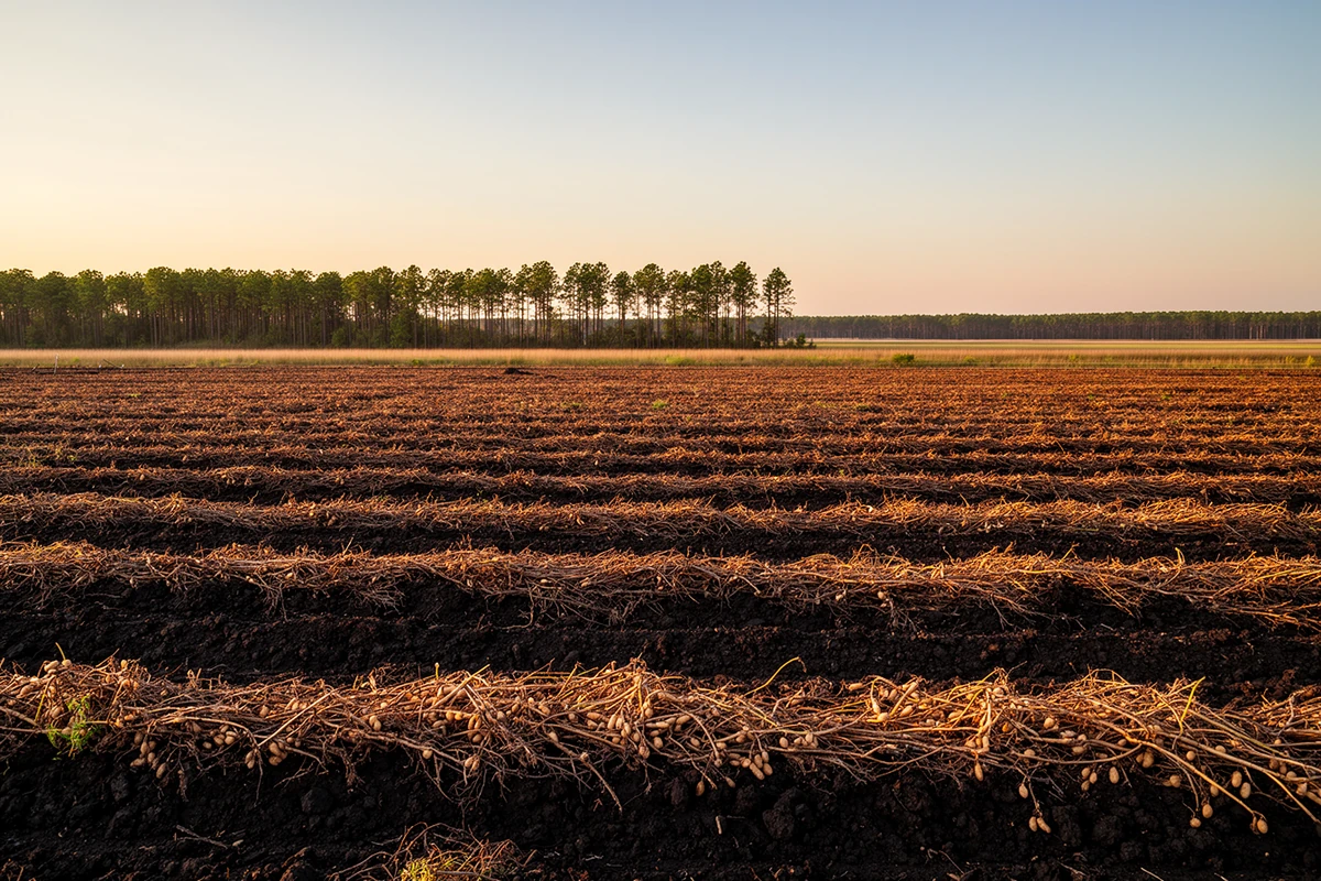
The crop's institutional footprint is still visible -- a family still producing peanuts on the same ground its members worked in 1898.
Tobacco, corn, cotton, wheat, hay, and soybeans have all been grown here alongside peanuts, and timber and livestock round out the county's traditional economic base. That agricultural core is exactly why this site frames Bertie the way it does for land buyers: this was, and largely still is, working farmland and timberland first, with the peanut trade as its single longest-running and most identifiable export.
Present Bertie Today
Bertie County's population peaked at 26,201 in the 1940 Census and has declined in most decades since, falling to 17,934 by the 2020 Census -- a 15.7% drop in that decade alone, driven by the same rural out-migration pattern affecting much of eastern North Carolina's farm economy13. That decline is not hidden on this site; it's part of why Bertie is positioned here around three specific, out-of-market niches rather than as a growth story: land, hunting, and working timber; Cashie River and Albemarle Sound waterfront; and an affordable, USDA-eligible first home in a county seat that still has a real, occupied historic downtown rather than a museum-piece one. Windsor's King Street, the 1889 courthouse, and the crossroads towns strung across the rest of the county are still functioning places, not relics -- and the same low-inventory, thin market that makes Bertie a genuinely different kind of county to buy in is also, for the right buyer, exactly the point.
Primary Sources & Further Reading
The State Library of North Carolina's encyclopedia project. Source for the county's precinct-formation date, naming, and early economic history.
NC Highway Historical Marker Program
NC Dept. of Natural & Cultural Resources. Source for the Indian Woods, Naval Battle 1864, William Blount, and David Stone marker text.
National Register of Historic Places
Nomination documentation for the Windsor Historic District (listed 1991) and the Bertie County Courthouse (listed 1979).
Bertie County NCGenWeb Project
Locally-compiled town-founding dates for Colerain, Aulander, Roxobel, Lewiston, Powellsville, and Kelford, cross-checked where possible against the Bertie County Historical Association.
Sources consulted for this page include NCpedia (the State Library of North Carolina's peer-reviewed encyclopedia project), the NC Highway Historical Marker Program's official marker text, National Register of Historic Places nomination documentation for the Windsor Historic District and the Bertie County Courthouse, David O. La Vere's academic monograph The Tuscarora War (University of North Carolina Press, 2013), the Bertie County NCGenWeb Project's compiled town histories, and U.S. Census population data. Numbered citations for specific claims appear below. Where sources genuinely disagree -- Windsor's exact founding year, Colerain's founding year, and the precise acreage of the Indian Woods reservation -- this page states both figures rather than picking one silently. Dates and figures are verified against these sources; nothing here is estimated or invented.
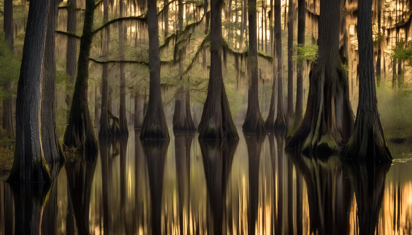
The Cashie River photograph above is an AI-generated illustrative rendering of the county's blackwater cypress landscape, not a documentary photograph.
- Nathaniell Batts' 1655 house on Salmon Creek, built for him by carpenter Robert Bodnam and later shown on Nicholas Comberford's 1657 map "The South Part of Virginia." NCpedia, "Batts, Nathaniell," ncpedia.org/biography/batts-nathaniell. ↩
- Batts as the first permanent English settler in the colony that became North Carolina, his 1672 meeting with George Fox, and the 1660 Pasquotank land deed, per NCpedia's biographical entry (as above) and NCpedia's "Bertie County" geography entry, ncpedia.org/geography/bertie. ↩
- The September 22, 1711 opening attack of the Tuscarora War and its death toll, per David La Vere, The Tuscarora War: Indians, Settlers, and the Fight for the Carolina Colonies (Chapel Hill: University of North Carolina Press, 2013). ↩
- The 1717 Indian Woods reservation for Chief Tom Blunt's Tuscarora, cited at approximately 53,000 acres by the NC Dept. of Natural & Cultural Resources and approximately 60,000 acres by other secondary sources -- this page states both rather than resolving the discrepancy silently. NC DNCR, "Indian Woods (A-2)," dncr.nc.gov/blog/2023/11/30/indian-woods-2. ↩
- The Tuscarora's 1828 relinquishment of title to Indian Woods and the subsequent relocation of roughly 645 families, per NC DNCR's Indian Woods marker page (as above). ↩
- Bertie Precinct's 1722 formation from Chowan Precinct, its naming for James and/or Henry Bertie, its territorial losses to Tyrrell (1729), Edgecombe/Northampton (1741) and Hertford (1759) counties, and its 1739 conversion to full county status, per NCpedia's "Bertie County" entry (as above). ↩
- Windsor's town plan "as it was first laid out in 1768," the district's 68 acres, 78 contributing buildings, and 1991 National Register listing, per the Windsor Historic District's National Register of Historic Places nomination documentation, as summarized in the Wikipedia-maintained entry cross-checked against windsornc.com's own local history page. Other sources give the town's founding as 1766 or 1767; this page does not resolve the discrepancy silently. ↩
- The Bertie County Courthouse's 1889 construction, 1941 and 1974 additions, and 1979 National Register listing, per National Register of Historic Places nomination documentation for the Bertie County Courthouse. ↩
- Colerain's founding by John Campbell, named for Coleraine, County Londonderry, Ireland, and the 1818 post-office-driven name change, per the Bertie County NCGenWeb Project's compiled town histories, ncgenweb.us/bertie/towns.htm. Sources disagree on the founding year, variously giving 1743 and 1794; this page states both rather than resolving the discrepancy silently. ↩
- Aulander, Roxobel, Lewiston, Powellsville, and Kelford's founding/renaming histories, per the Bertie County NCGenWeb Project's compiled town histories (as above). ↩
- The CSS Albemarle's May 5, 1864 engagement in Batchelor Bay (the Battle of Albemarle Sound), per the NC Highway Historical Marker Program's "Naval Battle, 1864 (A-57)" marker text and accompanying account, dncr.nc.gov/blog/2023/12/04/naval-battle-1864-57. ↩
- The 1769 Edenton-area peanut reference to the Royal Society and Bertie's 1889 production figure of 20,822 bushels, per the Bertie County NCGenWeb Project's peanut-history page, ncgenweb.us/bertie/peanut.htm, cross-checked against Coastal Review's reporting on Powell & Stokes and Bertie County Peanuts. ↩
- Bertie County's 1940 Census peak of 26,201 and 2020 Census population of 17,934 (a 15.7% decline over the preceding decade), per U.S. Census Bureau decennial data as compiled in the Wikipedia-maintained "Bertie County, North Carolina" entry, cross-checked against NCpedia's county entry (as above). ↩