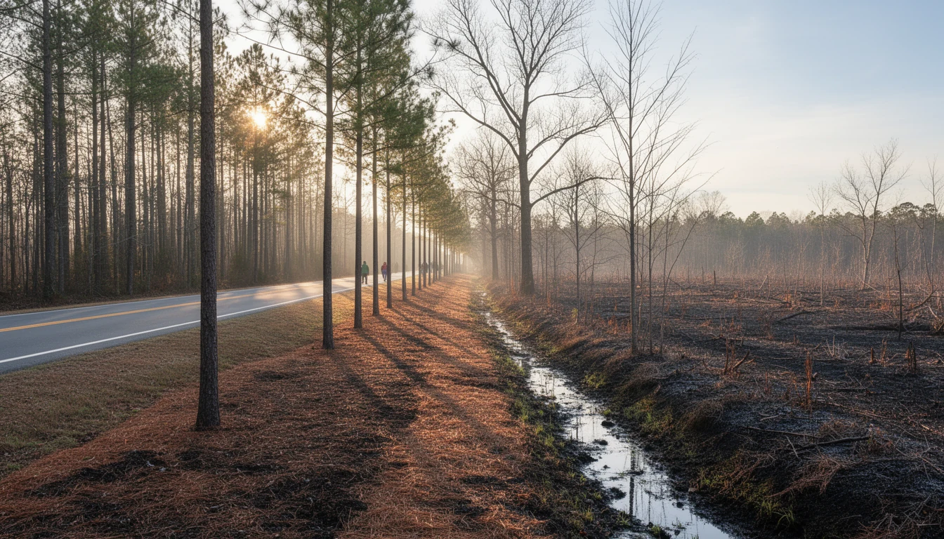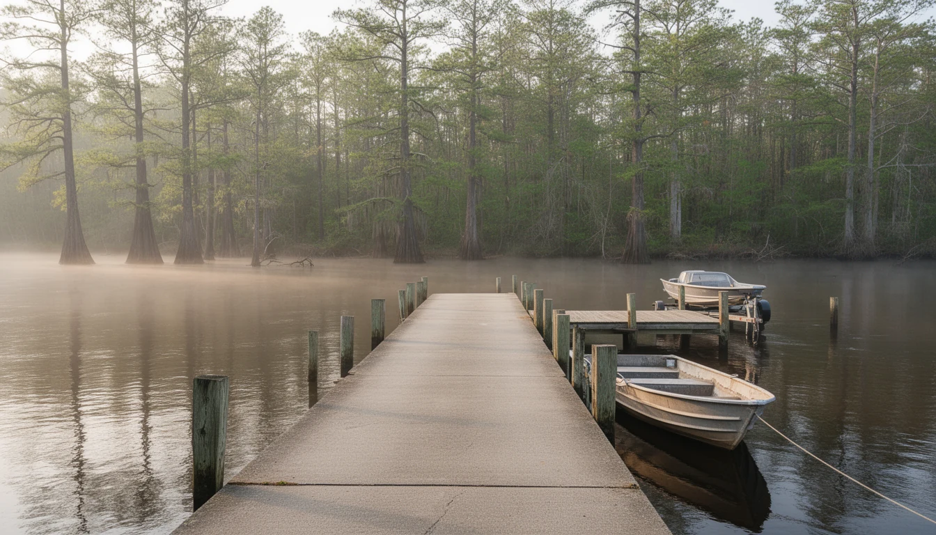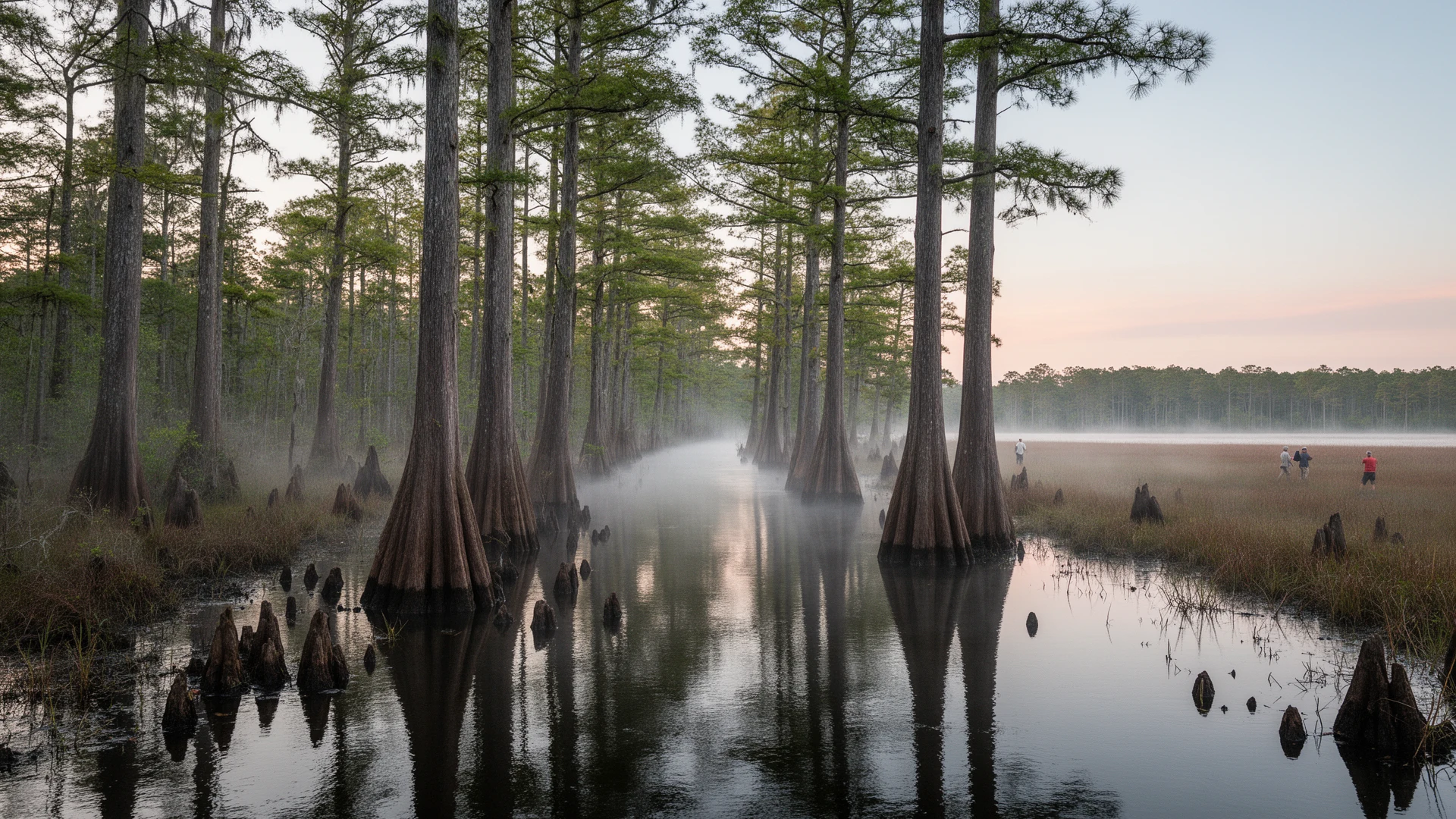


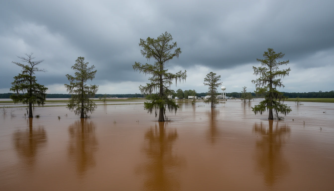
Windsor floods. That’s not a scare line, it’s the documented history of a town built on the Cashie River’s floodplain. Since Hurricane Floyd in 1999, Windsor has flooded four separate times, and the worst came in the fall of 2016, when Tropical Storm Julia and then Hurricane Matthew put water in the streets within weeks of each other.
For a buyer, the honest framing isn’t “don’t buy in Bertie County.” It’s that flood history is a real input to the decision, weighed the same way you’d weigh a commute or a school district, not an afterthought you handle after closing. And the most concrete cost of that history is flood insurance. Here’s what the last two big storms taught this market.
Why does Windsor flood so often?
Windsor sits on the Cashie River, and the town’s position in the floodplain is a known characteristic of the geography, not a hypothetical risk confined to a few unlucky parcels. In fall 2016, the Cashie crested at roughly 15 to 16 feet, nearly double its 8-foot flood stage, and damaged homes in a town of a little over a thousand housing units.
This isn’t ancient history and it isn’t a one-time freak event. It’s a pattern. Bertie County has partnered with North Carolina State University and NC Sea Grant to study the Cashie River basin specifically because of that history, which tells you the risk is taken seriously at the local and state level.
What does the FEMA flood zone mean for your parcel?
FEMA flood zone designation is the single biggest lever on financing and insurance requirements for a given property. The three you’ll actually run into:
- Zone X (unshaded): minimal flood hazard, outside the mapped 500-year floodplain. Flood insurance is generally not federally required for a federally-backed loan, and this is the lowest-cost tier.
- Zone AE: Special Flood Hazard Area with a 1% annual chance of flooding and a determined base flood elevation. Flood insurance is mandatory for any federally-backed mortgage.
- Zone VE: Special Flood Hazard Area subject to wave action. Insurance is mandatory, and construction standards are stricter.
Here’s the part that surprises people: “waterfront” and “flood risk” are correlated, not identical. A house set back on a bluff well above the riverbank can sit in an unshaded Zone X even when the water is visible from the porch. Meanwhile, a low, flat inland parcel a half-mile from the nearest creek can fall inside a mapped floodplain if drainage in that spot is poor enough. In a flat coastal-plain county like Bertie, a few feet of elevation change matters more than distance from the water ever will.
That’s why pulling the actual FEMA map for the specific parcel, not a general sense that “it’s near the river, so it’s probably high risk,” is non-negotiable before you write an offer. The map is a legal and financial document with real consequences.
How much does flood insurance actually cost?
Under FEMA’s current Risk Rating 2.0 methodology, NFIP premiums are priced per property rather than by flood zone alone. Distance from water, foundation type, first-floor elevation relative to base flood elevation, and prior claims history all factor into the number. That means two homes on the same stretch of the Cashie can carry meaningfully different premiums.
As a general, non-Bertie-specific range, NFIP policies nationally run from a few hundred dollars a year on lower-risk properties well above base flood elevation, up to $2,000 to $3,000 or more annually on high-risk, low-elevation waterfront. Get an actual agent quote for the specific parcel before treating any number as real. And note that FEMA caps annual premium increases at 18% as older policies transition toward full-risk pricing, so even an existing premium isn’t necessarily the final number.
Budget for flood insurance as a real, ongoing cost from the first conversation, the same way you’d budget property tax or homeowners insurance, not as a number you learn about at closing.
What is an elevation certificate, and why does it matter?
An elevation certificate documents a structure’s elevation relative to the base flood elevation for its zone, and it’s often the single document that determines whether flood insurance is affordable or prohibitive on a given property.
A licensed North Carolina surveyor prepares it, not a lender or insurance agent, and in NC a typical certificate runs roughly $250 to $600, more for a complex structure or a hard-to-reach rural lot. Get a current quote from a local surveyor rather than relying on that range. It’s a small cost relative to what it can save, or cost, on an annual premium.
The plain version: a home sitting above base flood elevation typically qualifies for a lower premium, sometimes dramatically lower. A home below BFE isn’t uninsurable, but it will generally carry a materially higher premium, and in some cases it affects what a lender will finance at all. Request one during due diligence, or budget to commission one, before you waive contingencies.
Is private flood insurance worth considering?
Private flood insurance has become a real alternative to NFIP for many Bertie County properties, not just a coastal-market niche. Carriers writing private flood policies in North Carolina have included Neptune and Wright Flood in recent years, though confirm current carrier availability before relying on a specific name.
Private coverage can sometimes bind faster than an NFIP policy and offer higher coverage limits or replacement-cost terms NFIP doesn’t provide. Whether NFIP or private makes more sense depends on the property’s elevation certificate, its claims history, and how a given lender’s investor guidelines treat private policies. Shop more than one quote rather than assuming either option is automatically cheaper.
What should you ask before making an offer?
A short list worth running before an offer goes in, not after:
- What is the FEMA flood zone designation for this specific parcel, not the general area?
- Is there a current elevation certificate, and if not, who commissions one and what does it cost?
- What would an actual, bindable flood insurance quote look like, from more than one carrier?
- Has this specific property ever filed a flood insurance claim, and if so, when and for how much?
- Has the structure ever been substantially damaged or improved in a way that could trigger rebuild requirements?
- If the home sits below base flood elevation, what would it take, and cost, to raise it?
None of these questions are meant to talk you out of a waterfront purchase. They’re meant to make sure the numbers are real before an offer goes in, not found out afterward.
And if the flood-insurance math genuinely doesn’t pencil for your budget, that’s a legitimate outcome, not a failure to find the right property. Bertie County’s inland towns, Aulander, Askewville, Kelford, Roxobel, and Lewiston-Woodville among them, sit well outside the Cashie, Chowan, and Roanoke floodplains, and buyers who land there skip this entire conversation.
Want the straight answer on a specific parcel? Travis can pull the FEMA flood zone for you and connect you with agents for a real flood insurance quote before you’re emotionally attached to the lot.